
Services
Solutions géospatiales pour un avenir durable
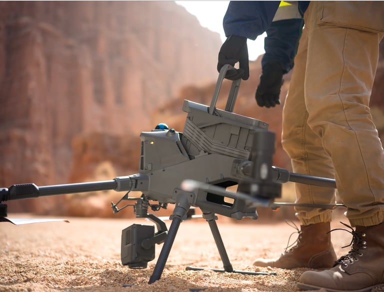
Drones
Surveillance aérienne précise
Collecte de données efficace
Analyse géospatiale avancée
GNSS
Lidar
À propos de nous
Solutions géospatiales pour un avenir durable.


Notre mission
Rendre la planification de projets plus efficace et durable.
Services
Solutions géospatiales avancées.
Drones


Surveillance aérienne précise.


Analyse
Interprétation des données Terrain.
Visualisation précise des résultats.
Suivi
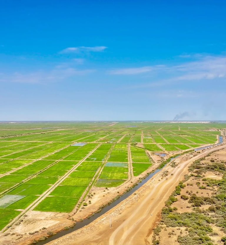
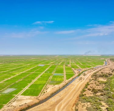
Galerie
Découvrez nos projets géospatiaux innovants


Abonnez-vous
Recevez nos dernières actualités